Wednesday, December 10

Fountain Bluff Update

Recently I planned to hike on the river trail in Fountain Bluff. After one-fourth mile there now is a gate across the old rail bed and no tresspassing sign. This pretty trail runs between a continuous tall cliff line and frequent views of the Mississippi River and bayous. I sent a letter to the owners about permission to hike. Check this blog index for a previous update on Fountain Bluff canyon. A good overview of trails in Fountain Bluff can be accessed at our website: http://illinois.sierraclub.org/shawnee/unclebob/adventures.htm. Scroll to Fountain Bluff and Tyson Canyon. More info from Bob Tyson at 684-5643 or robkay43@webtv.net i do have permission from the owner, however since the 2008 inland hurricane, the trail is demolished. Further updates on fountain Bluff: GPS coordinates for the top of Fountain Bluff road are 89 29' 58.95"W and 37 41' 36.85"N. The coordinates for the township road running along the base of Fountain Bluff are 89 29' 58.91"W and 37 41' 56.51"N.
Blue Hole Trail


Continuing with our series, "Adventures With Uncle Bob-Guide to Self-Adventure in Southern Illinois," we feature the above trail this month. Find directions from this blog index for Peter Cave Trail. Again, we park at the River to River trail crossing on Cedar Grove Road, go east, and 1.5 miles later, arrive at a junction with two trails: Peter Cave and Jackson Hole. We take trail #497 (Jackson Hole). The sign says 2.2 miles to Petticoat Junction.

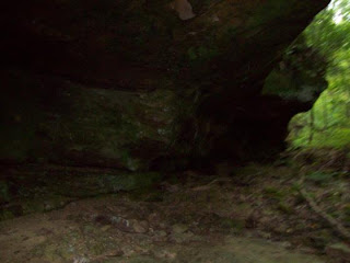
This Shawnee National Forest trail is adequately marked. While not level grade, it is not steep. We eventually reach Blue Hole after approx 1.5 mile. The creek water does have a blue reflection. This is a pretty cliff line, confined to a small area. Cross the creek on stepping stones to walk the base of the line. On the right, note the long line of shelf overhang as well as the small cave to the left. There is a pole line to tie up horses. Trail #497 goes north from here to Jackson Hole-still says 2 miles and a steep climb. I went one mile on it and did not that the trail is well-graveled on top-a lot of work went into this endeavor.

Back at Blue Hole, I took trail #496A. This pretty rim trail continues to parallel the creek until it seems to end at a creek crossing. Cross it on logs and arrive at Petticoat Junction. There is nothing of significance at that area. It is literally a junction of 3 trails. #496 does continue north. I turned around and returned to the car. More info from Bob Tyson at 684-5643 or robkay43@webtv.net .GPS coordinates at Petticoat are 37 29' 44"N and 88 36' 39'W.